VIII. Maps
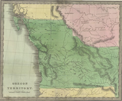 |
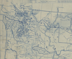
Figure 1 (left). Oregon Territory (1833) Figure 2 (right). Map of the Indian Nations and Tribes of the Territory
of Washington (1857) |
 |
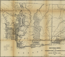 |
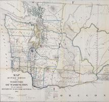
Figure 3 (left). Map of Public Surveys in the Territory of Washington for the Report of the Surveyor General (1862) Figure 4. Map of Public Surveys in the Territory of Washington to Accompany Report of Surveyor General (1865) |
 |
 |
Figure 5 (left). Territory of Washington Compiled from the Official Records of the General Land Office and Other Sources by C. Roeser, (1876) Figure 6 (right). Washington Territory (1884) |
 |
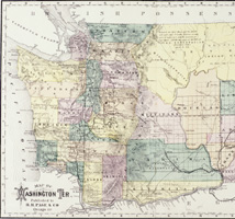 |
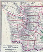
Figure 7 (left). Map of Washington Territory (1886) Figure 8 (right). Map of the State of Washington Showing Location of the Colville Indian Reservation, 1910 |
 |
| Main | Section II | Section III | Section IV | Section V | Section VI | Section VII |